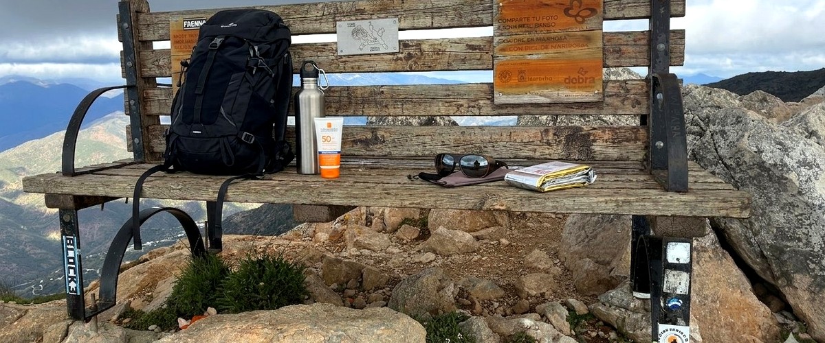
The Refugio de Juanar car park is the starting point for the most popular route up La Concha. But between the potholes, packed Sundays at 9:00 am and confusion about whether parking is even allowed, many hikers start the day on the wrong foot.
This guide answers every question: exactly how to get there, what time to arrive, what to do if it's full and the details nobody mentions. From someone who hikes here every week.
| Location | Refugio de Juanar, Ojén (Málaga) |
| GPS coordinates | 36.5394°N · 4.9526°W |
| Cost | Free |
| Capacity | ~40 vehicles |
| Surface | Dirt and gravel |
| Distance from Marbella | ~14 km · 20 min drive |
| Mobile coverage | Limited · Almost none on the trail |
| Services | None · Bring everything from below |
✓ Private tour · ✓ Free cancellation 24 h · ✓ Pay later
The most popular and safest starting point for the La Concha hike from Marbella is the Refugio de Juanar, in the village of Ojén. It is a 15-20 minute drive from Marbella via the A-355 road — the standard access for day trips to La Concha from the coast.
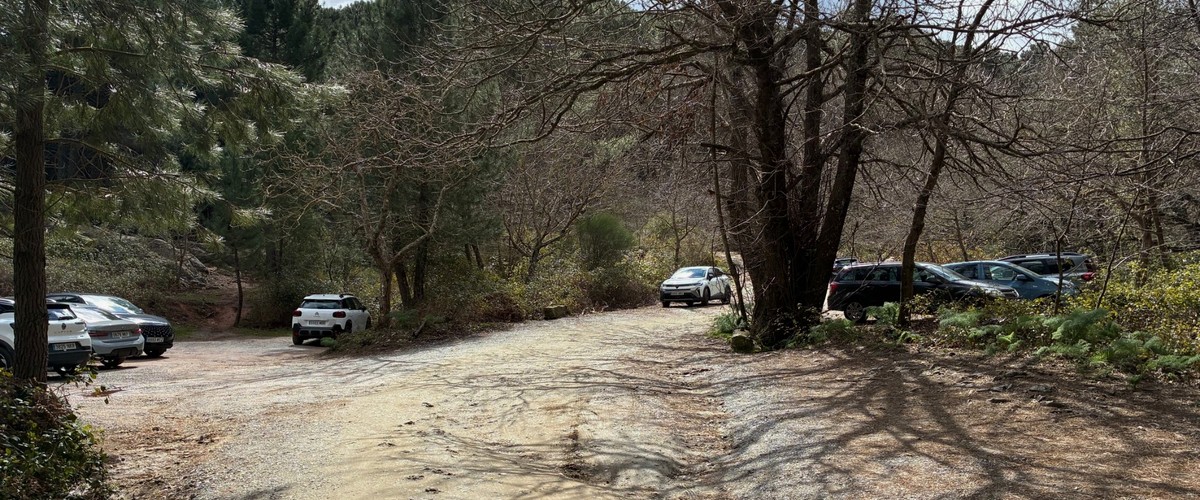
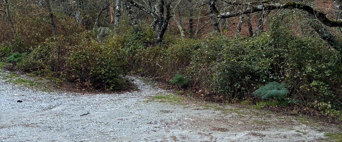
From Marbella: Take the A-355 towards Ojén. Once through the village, look for a left turn signposted "Refugio de Juanar". Follow that winding road to the end — the car park is the dirt clearing on the left side of the road when you reach the end, and it has two levels. The first level is next to the road and, following the track uphill, there is a second level just before the gate that marks the start of the trails.
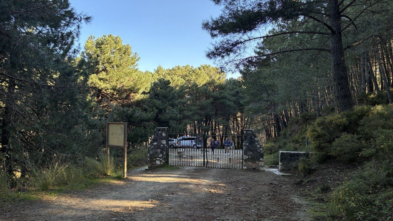
Video guide — how to get there and what to expect at the car park
This is where most visitors go wrong. If you are coming on a sunny Saturday or Sunday — especially between March and October — here is exactly what you will find:
No problem. You park right at the gate. You start the hike rested and in ideal temperatures.
Caution. You will likely have to park on the roadside, adding 1-2 km of uphill walking before you even reach the trailhead.
Chaos. Cars manoeuvring on a narrow road, stress before you have even started, and it is already 11am with the heat building. Do not be that person.
If you are hiking in summer, arrive at dawn. Not just for the parking, but because by midday the heat on the ridge can be brutal — and there is no shade or water on the entire route. You will be grateful for the close parking twice: when you set off and when you return on tired legs.
This is the question most people ask when they roll up on a Sunday morning in May at 10:30 am and find every spot taken. You have three real options:
That's what most people do. The last 800 m of track allow you to leave the car tucked tight to the verge without blocking the road. Add 10–15 minutes of extra walking before the actual hike begins.
The hotel has a larger car park about 400 m before the gate. Only acceptable if you're going to eat or have a drink there — otherwise it's bad form to use it. From here the route starts with a pleasant walk through pines.
If you arrive at 11:00 am on a Saturday in May and everything is gridlocked, your day is already compromised: late start, hotter temps and groups at every junction. Better to plan for a weekday or come back at sunrise.
Local trick: Mondays, Tuesdays and Wednesdays — even in high season — usually have spaces available until 11:30 am. If your schedule allows, hike midweek and the difference is huge.

No pay machines, no attendants, no ticket. If anyone asks you to pay to park at Refugio de Juanar, do not pay them — it is not official.
The gravel section can get quite uneven after rain. If you are driving a low-clearance car, take it slow in the last 200 metres of access road.
There are no petrol stations or shops once you leave Ojén. Make sure you have enough fuel and — critically — bring water bought in Marbella or Ojén. There are no water sources on the trail, and the Refugio itself may be closed when you arrive.
There is almost no mobile signal from the car park to the summit. If you are using GPS on your phone, download the track offline before you leave the car. Once inside Sierra Blanca, no internet.
📲 BEFORE YOU STEP OUT OF THE CAR
From the car park onwards, there's no signal. Take the GPX track downloaded on your phone and the full guide with every junction explained — all in PDF, all offline.
Free · No signup · Works offline
Getting the car sorted is just 5% of the job. Beyond the gate, you enter Sierra Blanca: limestone terrain, confusing junctions, and a mountain where fog can roll in within 15 minutes.
I have seen too many people get lost or have a bad time simply because they did not know where the real trail to the summit starts, or what to do when they reach the famous Salto del Lobo and the Paso de Las Cadenas. That is why I have put my 15+ years of experience hiking La Concha into a digital guide you can carry on your phone — including the GPX track, which works without internet.
What if you go up with someone who knows the way?
Beyond the gate is where it gets serious: confusing junctions, the Chains and possible fog. A local mountain guide handles the route and the safety — you just enjoy the summit:
No. The car park is completely free. There are no payment machines, no attendants, no tickets. If anyone offers to "watch your car" for money, they're not official.
It depends on the day and season. Sundays and bank holidays in spring and autumn are usually full before 9:30 am. Saturdays, by 10:00 am. On weekdays there are usually spaces until 11:30 am. In deep winter or August, the car park is nearly empty all day.
From Marbella centre: A-7 → exit 184 (Ojén) → A-355 towards Coín → signposted left turn for "Refugio de Juanar" → MA-5300 to the end. It's 14 km and around 20 minutes by car.
Not directly. The M-220 bus connects Marbella with Ojén village, but from Ojén to the Refugio it's another 8 km of mountain road with no public transport. You'll need a taxi from the village (~€15) or to walk (2 hours uphill).
Yes, it's a quiet area frequented by hikers. Even so, don't leave valuables in plain sight: bags, phones or cameras visible through the windows. Standard mountain car park rules.
No. No public toilets, no fountains, no shops. The Hotel Refugio de Juanar (400 m away) may have its restaurant open during opening hours, but don't count on it. Sort everything out in Ojén or Marbella before driving up.
No. The MA-5300 road is paved all the way to the car park. The last 200 m are dirt and gravel with some potholes after rain, but a normal car gets through fine. Just take it slow if your car sits very low.
Park along the verges of the access track (the last 800 m). Add 10–15 minutes of extra walking before the actual hike. If you're eating at the Hotel Refugio de Juanar, you can use their parking. See other alternative routes in Sierra Blanca.
Offline GPX track, photos of every junction, technical sections explained and safety advice. Everything you need from the car park to the summit — and back down.
Offline GPX track + photos of every junction · Works without internet
Have a question about access or parking? contact me here
FREE
Complete PDF + GPX Track · Sent straight to your email
No spam, promised. Your email is only used to send you the guide and notify you about important updates. You can unsubscribe with one click.
Keep reading